Tuesday, September 13, 2011

Quebec Day 6 - Riviere Mattawin

After getting done with the Cachee there was quite a bit of discussion of where to head to next. The Malbaie was the one run that we all wanted to do that we hadn't hit yet, but it was a long drive out in the wrong direction for us and was really high as well. We talked some other options and finally settled on the Mattawin. The guide book mentioned some big rapids and it sounded like the 50 cms we were supposed to have would be okay. Instead of braving the bugs in the Jacque-Cartier Parc, we headed back down the hill to try to camp at one of the Tewksberry raft companies. We never found the company and poached a bug free night at the put in instead.

We woke fairly early and got packed up (in fact it was really early relatively) and hit the road for the long drive to the Mattawin. We made pretty poor time and were crossing the Batascin into the Reserve Faunique Mattawin around noon. We found out we had to pay a fee to both cross the bridge and enter the parc (Looking back, the Tewksberry is the only fee free Quebec river we did). After hammering a good dirt road for a while, we broke left down towards the take out for the upper. The road wasn't terrible but it was slow going and long and we finally found a trail that led to the river in about ¼ mile (I think the road hit the river about 1 mile from where we parked). As we got organized, it became quite obvious, the mosquitoes were brutal. We quickly donned the rain jackets and head nets to avoid choking from mosquito inhalation and were headed for the put in quickly.

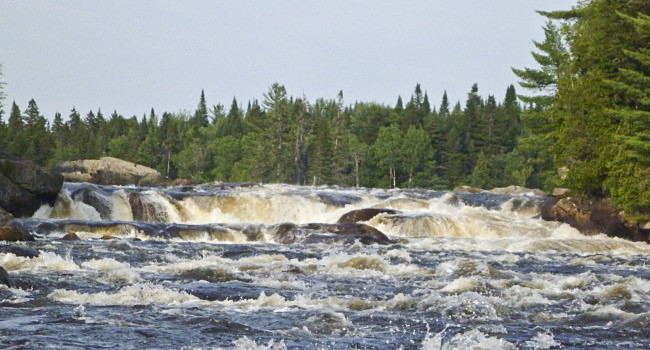
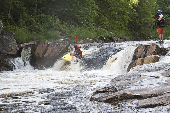
After driving back out to the main road and heading upstream for a ways, we eventually started paralleling the river. We ended up putting in a few km downstream of the guidebook recommendation as it looked like that's where the decent rapids started. We geared up in slightly less mosquitoes than the take out and paddled across the first lake with head nets over helmets. We quickly bombed a few high volume ledges before another pool and a nice constricted lead in rapid. Around the next corner, we all quickly grabbed a fairly walled out eddy above a frothing horizon line. A quick scout revealed a massive hole that looked likely to beat you until long after the lights went out. There looked to be a fairly bold sneak down the left or a partial portage on the right to just below the nasty hole. We couldn't really get a good look at either option until we did a wading scout at the base of the river right cliff to see that the partial portage went. We all seal launched into the surging mess behind the hole before being shoved around the corner and spit out the bottom. Just downstream another big water rapid laced with fierce, although not terminal, holes. No one was feeling up the meat, but Brandon and I snuck the entrance to get to the great finish. What awaited us as we left the road was not what we were looking for, a lake. This was probably the largest natural lake I've ever paddled across (although I've never done the Magpie) and after about 45 minutes of cranking we reached the other end.

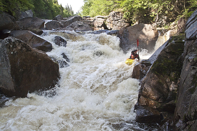
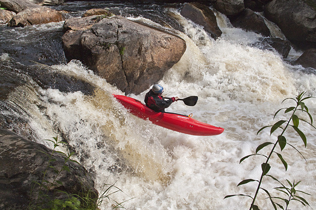
Upon a quick scout, our fears were confirmed, another massive rapid with ugly looking ledge holes. I was the only one feeling up to the first few tiers, which went smoother than anticipated but still had big time beat down potential. We worked our way down a few more tiers until we had to portage the nastiest 2 ft drop I've ever seen. It was pretty much a natural low head dam with about 50 ft of backwash, totally runnable but don't even think about bobbling it. A little more flat water brought us to another ledge with yet another man eating hole, but a decent little sneak down the left. After some more flatwater and some more moderate rapids we reached a pretty impressive feature: the whole river slid down a wide low angle 100 yard long slide. We all took slightly different lines and the big curlers at the bottom of the main chute were great fun.

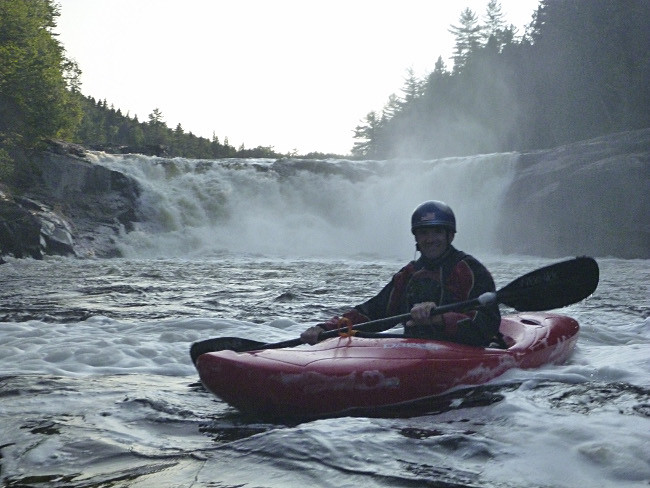
At the bottom of the slide, this river's main theme continued, more flatwater. At this point, the sun was starting to go down and there was nothing to do but put our heads down and crank. Soon we were came to yet another large horizon line, which ended up being a 30ft relatively clean ledge, without a massive hole at the bottom. I quickly lined up a vert to reconnect line on the right which went super smooth. I was really surprised when Alex and Jeff followed me, as they aren't usually in to this kind of rapid, but they had smooth lines as well. In the waning light we paddled a little flat water, all secretly hoping the river would have no more big drops and suddenly turn to continuous class III. Well, we didn't get it, but we did get some long sections of class II to speed the process. About 30 minutes later, we came to a spot that the road came down to the river but unfortunately it wasn't our spot. Knowing we were close, we cranked out another 15 minutes before finding the trail up to the truck, where the mosquitoes were certainly waiting for us.

This was probably the only river of the trip that didn't exceed expectations, mainly due to the staggering amount of flatwater (not moving at all). I'm pretty sure the Alden never ran this before writing the guidebook or there would have been some mention. That said, there were a handful of super fun rapids, although less water would make them more user friendly, and the run had a seriously out there feel, but that came with a long confusing shuttle (make sure you have a good topo map). It's one I'm glad I've done, but won't be in a hurry to go back to.
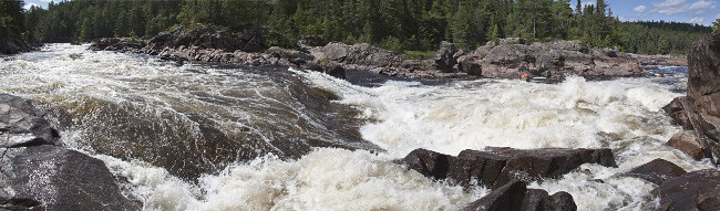
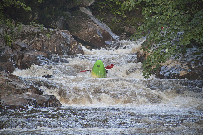
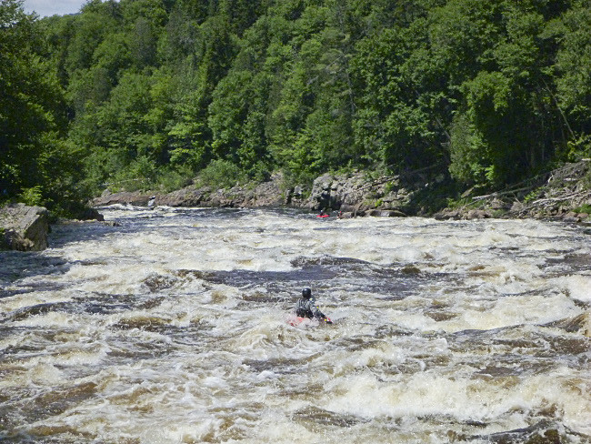
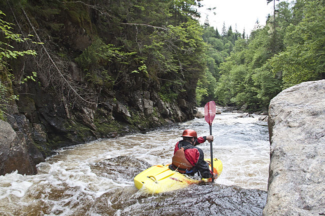
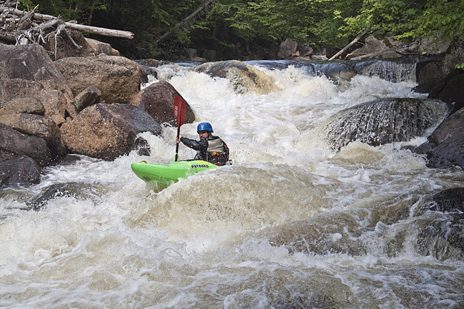
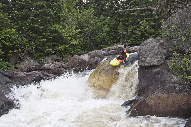
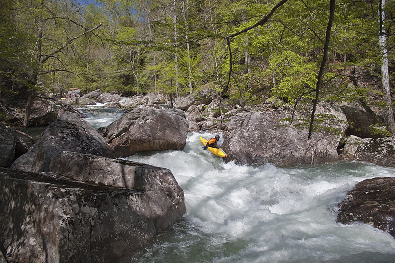
The Hole That Nearly Ate All of Us (Photo: Jeff Moore).
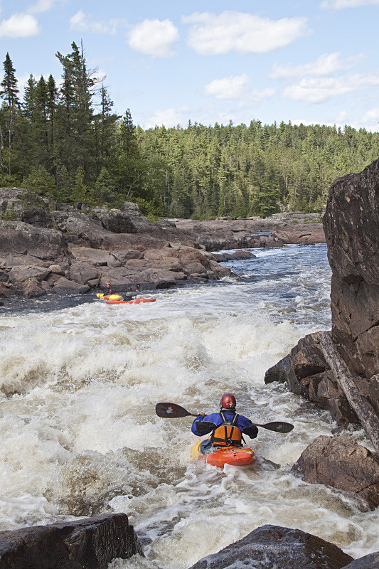
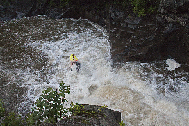
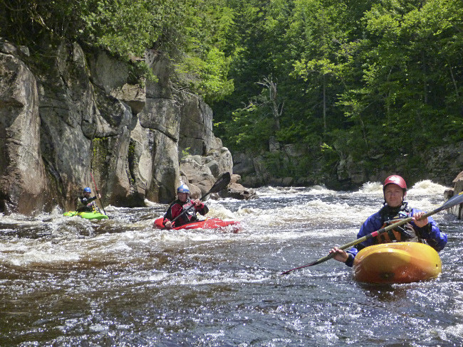
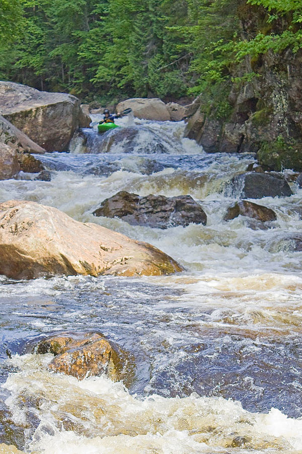
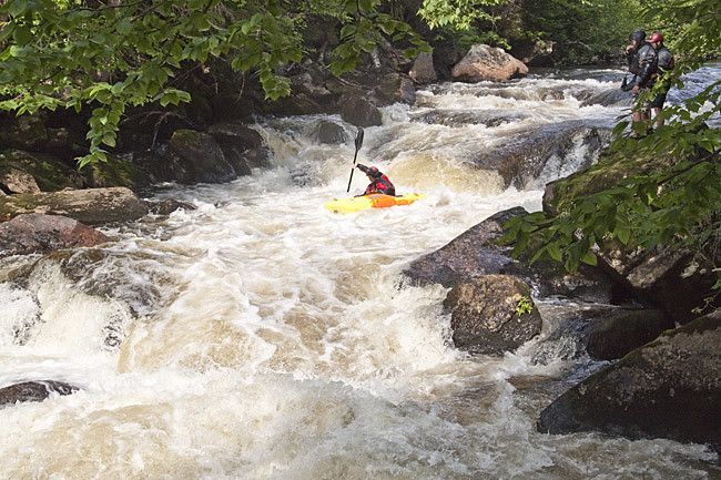
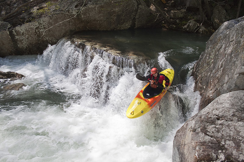
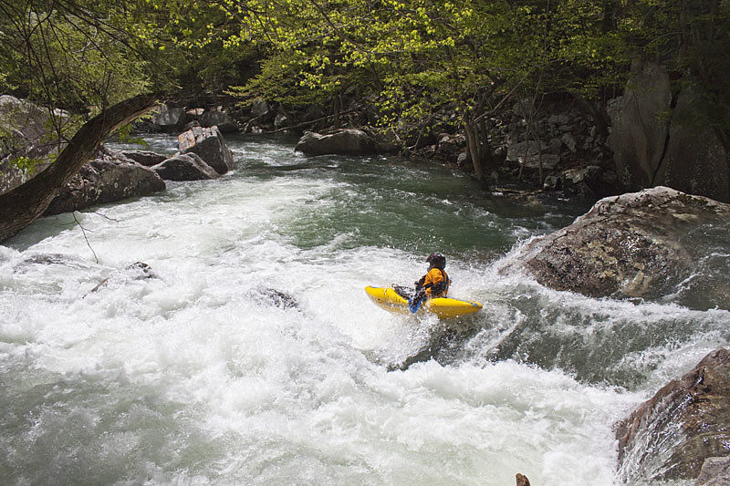
Brandon Launching Just Downstream (Photo: JM).
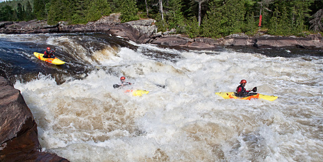
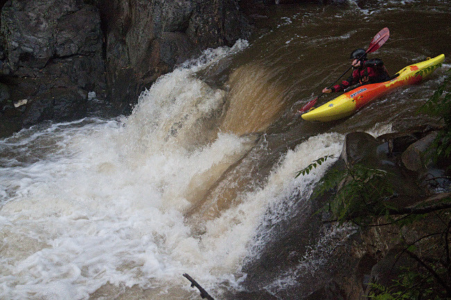
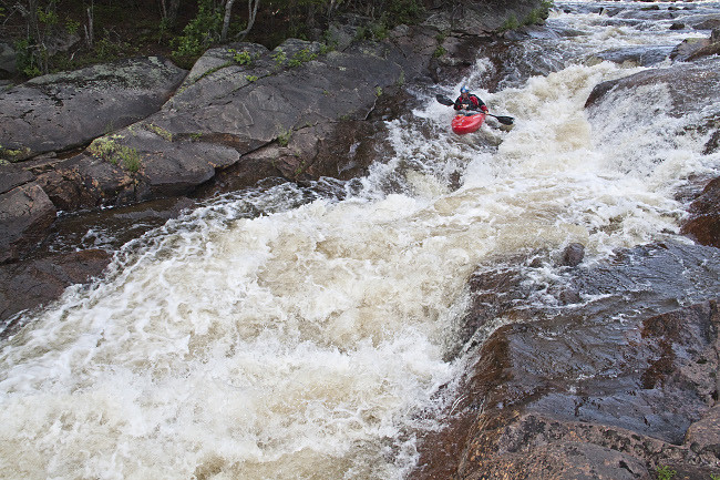
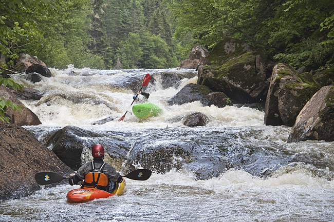
JJ in the Mellow Set of a Long Series of Ledge Holes (Photo: JM).
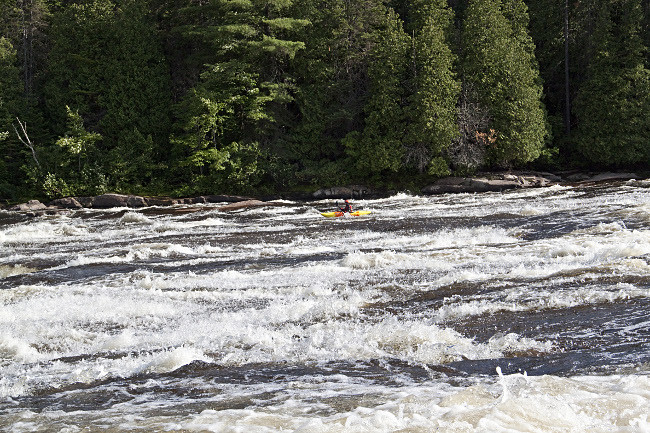
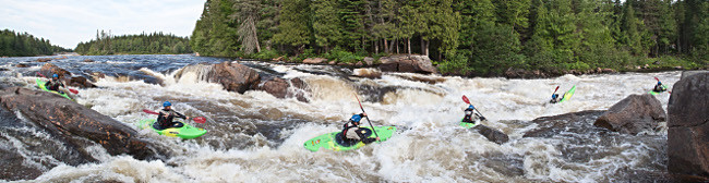
Half Way Down the Big Slide (Photo: JM).
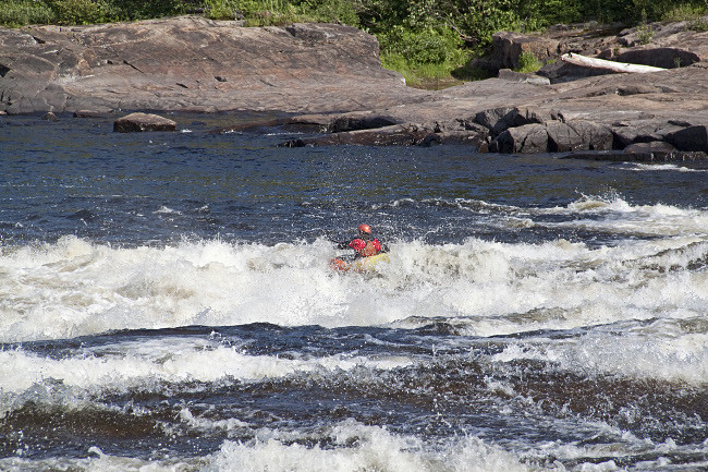
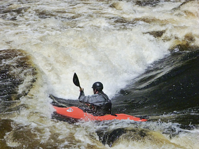
Crashing Through Some Curlers at the Bottom (Photo: JM)
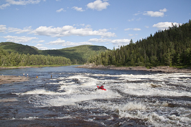
Tony Taking the Lower Volume Side of the Slide (Photo: JM).

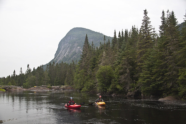
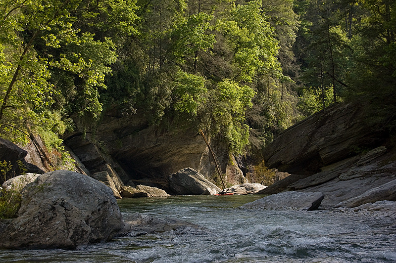
Waning Light Below the Big Falls (Photo: JM).


Wednesday, September 7, 2011

Quebec Day 5 - Taureau et Cachee

This was the day I had been waiting for all trip. The Taureau had been one of my main motivations in coming to Quebec, and it was coming together. With the rain earlier in the week, it was higher than we had hoped as none of us had done it before. Unfortunately, that meant that only Brandon and I would be going the next morning, but it meant we had one essential for a Taureau trip, a shuttle driver. We woke early and ate a quick breakfast before hopping in the truck with Steve and heading out of the park for the epic shuttle (big thanks Steve). A long time later, we were along the upper Jacque-Cartier, pretty sure we were at the put in, but unsure where the gauge rock was. After some searching and comparing to photos, we found the spot and eventually concluded that the rock of interest was about 6” under water. A little more than we were hoping for, but not enough to have us thinking about backing out.

Again, we quickly geared up due to the savage black flies and mosquitoes and by 9 am we were cranking flatwater with head nets on to weather the swarms. Soon, the river started to pick up until we were bombing splashy class IV, forcing the head nets to come off. About 1 minute later we launched off a riverwide ledge above the first real rapid, double drop, confirmed by the remain of a wire bridge overhead. When we hopped out to scout, a pile of broken paddles greeted us, casting a bit of an ominous tone. A quick scout revealed a juicy lead in to a great boof followed by more juiciness. Shortly downstream we reached the first triple drop, consisting of a scarey planing boof followed by a juicy boof onto a nice slide. A theme for the day was building that would carry on for quite a while, nice juicy boofs everywhere.

We continued through more great rapids until portaging the waterfall slot, which didn't look at all appealing. Eventually we reached La Luniere confuence, bringing in a lot of extra water. The section below here had great scenery, with lots of big cliff walls. We kept making good time, knowing that we had most of the big stuff still to go. Another wire bridge signaled the sieve rapid, and while the sieve itself didn't look bad, it was shooting up a monster rooster tail and featured a terrible looking hole just downstream. After a quick lunch, we both portaged quickly, launching into the steepest and rowdiest part of the run. A huge big water slide shot us directly into a long class IV runout. Then hump and pump, a great s-turn into a rowdy hole. Next was logjam, which took us about 30 minute to get a good look at the bottom. It's amazing how close together the trees grow up there. Then razor rock, which features an extremely aesthetic drive away from the right cliff wall, which harbors a couple nasty holes, before continuing left for the final drop through a big hole. After that, things relatively chilled out, although we did nearly bomb into a disgusting ledge hole, until reaching the finale, Coming Home Muhammad. At this point the sky opened up and we took a look at Muhammad. This rapid looked huge and great, but the sneak looked worse the main line, which was big time with the extra flow, so we tucked our tales between our legs and hit the small portage trail. Below here things continued with plenty of great class IV as the river mellowed toward the confluence of the Jacque-Cartier Nord-Ouest and Nord-Est. From here out things moved quickly and the scenery was incredible with huge walls emerging everywhere. We pulled into camp 3 a little before 3:30 followed shortly thereafter by our shuttle driver Jeff, who decided to pick us up while everyone else repeated the Tewksberry (big thanks Jeff). Sorry no Taureau photos, we didn't even bring a camera.

People like to compare the Taureau to the Linville Gorge in North Carolina, and it's a pretty fair comparison. The lengths are similar and they are certainly the two most impressive gorges in Eastern North America. Linville has a lot more scarey rapids than the Taureau and probably more hard rapids overall (but I'm more comfy on big water than sievey stuff), as most of the in between on the Taureau is fun class IV. The other nice thing is most of the hard rapids on the Taureau occur just after wire bridges. The Taureau is definitely more committing, with a huge shuttle and no trails anywhere in the meat of the run (I imagine losing a boat would ensure at least a night spent in the woods), while Linville has many trails in and out as well as a trail along the river. Regardless, they are both two of the most classic runs in Eastern North America.

After driving out of the park, we met the Tewkberry crowd for some dinner. On the way out of the park, we had noted that the Cachee was brown and much higher than the last few days. After we enhaled some burgers, we decided to head back and take a quick look at the Cachee again. It had come up some more while we were at dinner, but still looked pretty low. Ah what the hell, I'll probably never be here again when it' running and the slides looked covered up enough.

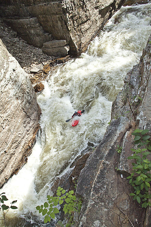
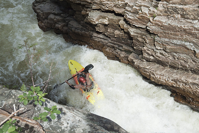
After a quick gearing up in the twilight, Tony, Alex, and I headed down behind the guard shack to the put in. After some quick boulder mank and a few small slides we came to the big drop. After some brief scouting Alex and I both committed, finding it friendly despite the thin coverage. Another boof and a nice boulder drop and we were back into some fierce boulder mank, with more wood now. We just kept charging downhill despite the bumpiness until we hit the final slides above the take out bridge. Below here was a little more boulder garbage in the encroaching darkness before we hit the take out. Despite the extreme low flow, the bedrock sections of the creek were still high quality and super fun. I'd guess this run has a small window between when the boulder rapids fill in and when things get rowdy, although it probably gets rowdy in a good way.

Alex Blasting Through an Early Cachee Slide (Photo: Jeff Moore)

JJ Landing the Big One (Photo: JM)
JJ Boofing the Drop Below the Big One (Photo: JM)
Wednesday, August 31, 2011

Quebec Day 4 - Tewkesbury et St. Catherine

After all the driving of the last few days, we decided to take an easy day and check out the Tewkesbury section of the Jacque-Cartier. We were yet again slow to motivate despite continual prodding from the 6 legged inhabitants of our campsite. After making the 30 minute drive down to the Tewkesbury area, we got some info from the local raft guides on where to put in and take out (both at raft company set ups) and checked the gauge (about 0.5 ft., nice medium). We waited in the sunshine while the short shuttle was being run, delighted with the lack of bugs attacking us.

We hopped on, without much expectations as the river slowly got going. Soon enough we were bombing into the first big water rapid along an angled wall on the right. It was great, big waves, big curlers, and big holes. Things continued this way for a while with several nice long rapids before getting to meatgrinder, the largest rapid on the run. It wasn't really any more difficult than the others, just longer with less direct routes. A few more big water rapids, including several with some nice little gorge walls, and things were opening up and flattening out on the way to the takeout. Again, I'd have to say the Tewkesbury really exceeded expectations, and although short, was pretty classic for being nestled about 30 minutes from Quebec City.

Smokeless Steve Oping not to Drop in for a Ride at the Top of a Long One (Photo: Jeff Moore)

And Steve Finishing the Same (Photo: JM)
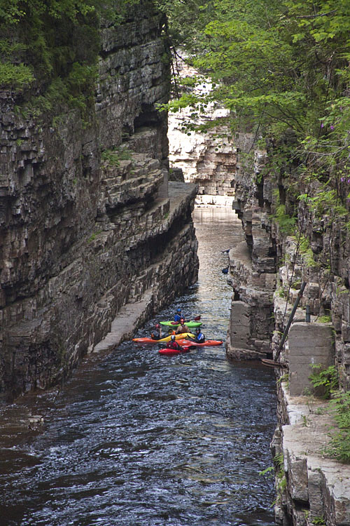
The Fellas Chillin' Under some Nice Little Walls (Photo: JM)
Despite the late start, we still had plenty of time, so we decided to head down and check out the St. Catherine section of the Jacque-Cartier. We should have continued downstream on the Tewkesbury take out road, but our maps were incomplete so we headed back to the main highway and through some Quebec City suburbs before arriving at the St. Catherine section. After driving along the river running shuttle, we weren't expecting much as things looked wide and lake like.

Upon putting in at a little pull out on river left, about 3 miles upstream of the bridge, things were definitely lake like for awhile before reaching the first rapid. Just as the guidebook mentioned, when we got to the second drop there were islands and lots of choices. We started right, decided it looked scrapey and headed back to the left for some great big water curler moves. From the bottom, we saw a nice slide in a channel just to our right and wasted no time walking back up for a run. We then paddled over to the right channel and picked off a nice little boof at the end. After exploring all the channels, we booked it across the short lake to the next set. The right was supposedly the Bluet, a big time rapid named for a small tasty berry, so we checked out the left to find another high quality, steep rapid with few holes thrown before rounding to the right and crashing through more wave and holes. Good stuff. We were running out of light, so we didn't get to explore any of the right channel, although from downstream it appeared the lines ranged from a nice 10' waterfall to terminal hole bashing. Although nowhere near the classic the Tewkebury is, St. Catherine was an afternoon well spent. We grabbed some great pizza at Paquettes within a half mile of the take out before heading back to camp at the Sautauriski confluence.

Tony on the Slightly Scrapey Slide at the First Island Rapid (Photo: JM)
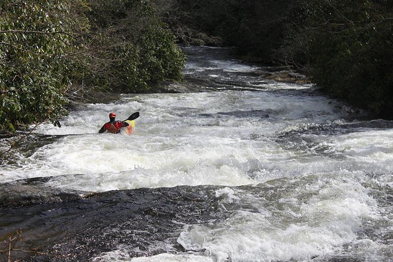
Tony Boofing the River Right Channel that we Walked Back Up (Photo: JM)
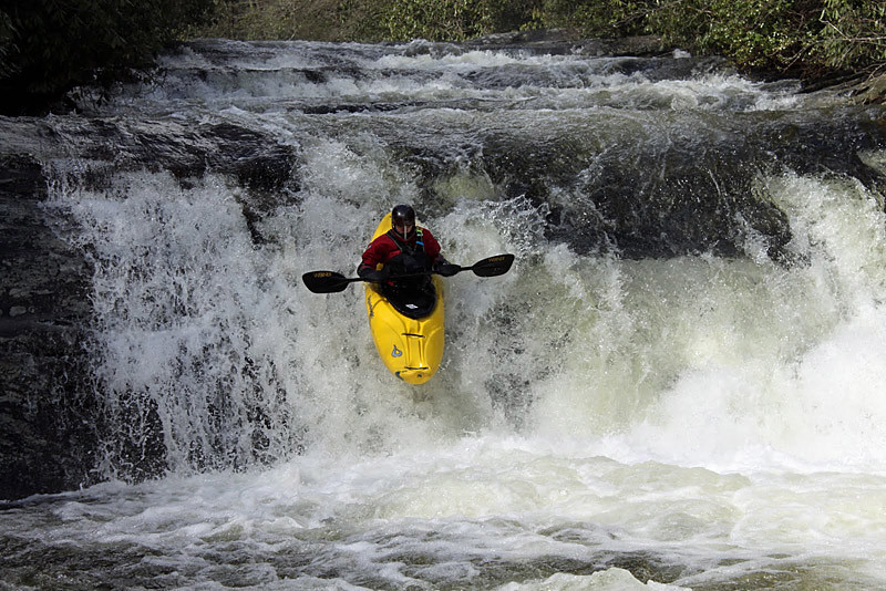
Alex Styling a Line that was In Between the Meat and the Sneak (Photo: JM)

The Bluet, Wish we had Time to Explore (Photo: JM)
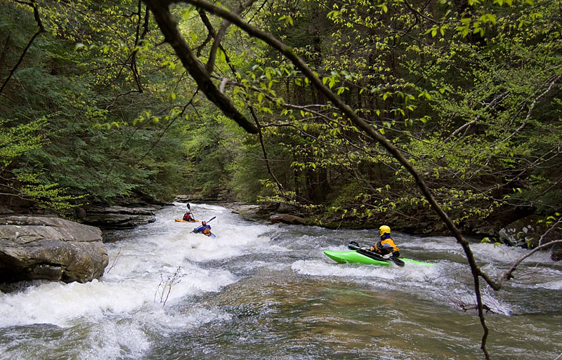
Sunday, August 21, 2011

Quebec Day 3 - La Riviere Sautauriski

After more waffling and water level debates (part of the fun of going somewhere all the gauges are unfamiliar and descriptions are often in French), we decided on the Sautauriski, which was supposed to be low but runnable (good considering this is usually a late spring run). We paid more admissions fees (a theme is emerging) to get into the Parc Jacques-Cartier and set shuttle just upstream from where Sautauriski confluences into the main Jacques-Cartier. The river looked pretty low but passable in the dechannelized section upstream from the takeout, so we figured we'd be okay. Shuttle entailed leaving and reentering the Parc in a less developed area, where we drove to the blockade of the dirt road at the bridge across the Sautauriski.

As soon as we got out, we were massacred by black flies and mosquitoes, necessitating a less than leisurely rate of gearing up. The river started nicely with an easy narrow bedrock rapid right under the bridge before spreading out for a good distance of easy boulder rapids which could have used some additional flow. Soon enough we made the portage, getting out to take a look. The 1st and 3rd drops were good but the 2nd was too low to be enticing (although it may not be enticing at any levels). Fortunately eddies and seal launches were available to avoid the 2nd drop; however too much time was taken scouting and portaging, and the mosquitoes and black flies were again onto us. We took off from the bugs as soon as possible and soon found ourselves routing through many nice class IV boulder rapids. Unfortunately, they ended sooner than we would have liked, but at least the scenery was top notch for the paddle out.

While not nearly the classic the Neilson was, the Sautauriski delivered a nice mellow day in a beautiful canyon, and I'm sure it would get better with increased flows.

Trying to Boof the First Drop of the Portage (Photo: Jeff Moore)

Finishing Off the Third Drop of the Portage After Seal Launching the Second (Photo: JM)
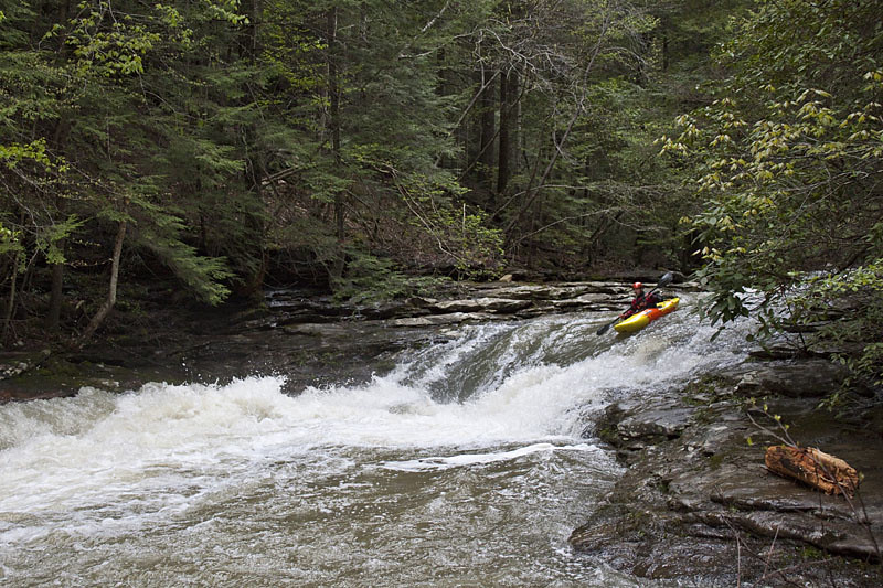
Tony Boofing a Nice One Below the Portage (Photo: JM)
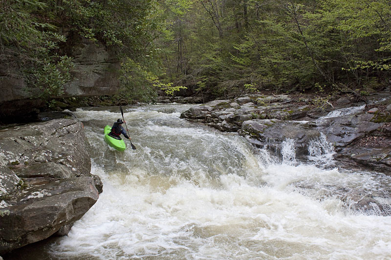
Boofing Downstream in the Nice Class IV Section (Photo: JM)

See, Jeff Does More than just Take Photos (Photo: Alex Zendel)
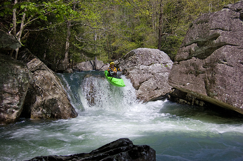
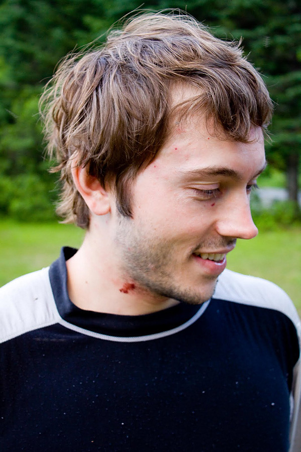
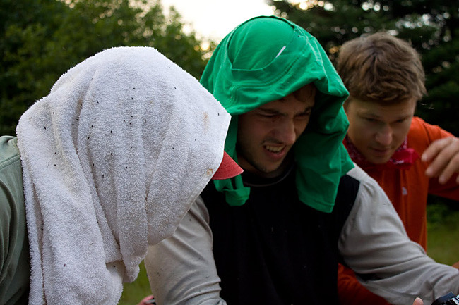
Not Chicken Pox, Just the Price for Scouting Too Long (Photo: AZ)


Mmm... Camp in Quebec (Photo: AZ)

Friday, August 19, 2011

Quebec Day 2 - The Neilson

Camping in New York the previous night left us with a long drive up to the mountainous regions of Quebec. After some lengthy debates and lots of waffling, we decided that although the Neilson was low, it was supposed to be classic and it might be our only chance to hop on it. So, off we headed to Saint-Raymond and after plenty of delays and a modest fee at the access gate, the Neilson Valley. I think the first thing we all noticed was the towering granite walls of the Gros Bonnet, an unexpected surprise. The second thing we (at least those of us waiting for shuttle) noticed was the ferocious black flies. They look like gnats and don't hurt when they bite, but they pack a punch leaving welts and drawing blood. Little did we know, the Neilson would have the tamest bugs of any of our stops in Quebec.

Once the shuttlers returned, we quickly geared up and headed downstream, where our low flow was tolerable as the rapids built to long hard class IV boulder gardens which were mostly boat scoutable and super fun. Most of the run was just that: high quality class IV+ boulder rapids with enough pools to break the action but basically no flatwater. The scenery was better than expected with nice gorge walls but scouting was always possible (although not required except at Picard). Eventually the river opened up to some nice view of the cliffs and we came to the big rapid of the run: Island Falls. It was a little too low to run the left sneak, but the right side fall went nicely despite being a little tricky. A few bedrock drops and we arrived at the take out.

Alex Warming Up on an Early, Typical Neilson Rapid (Photo: Jeff Moore)

JJ digging while probing the top of Picard (Photo: JM)

Alex blasting through the entrance to Picard (Photo: JM)

After a lot of semi-continuous read and run in a narrow canyon, the river opens up and gives some great views of the Gros Bonnet (Photo: JM)

JJ taking off at Island Falls (Photo: JM)

Wanting more, a few of us headed downstream for the lower Neilson. The rapids got larger, although in general we thought the quality dropped. We all portaged the second rapid and the pothole drop. The pothole looked great, but my shoulder just wasn't ready for the beating that it was capable of dishing out. Soon enough, we were dodging rocks in the dusk as we rolled up to the take out bridge.

We had about 10 cms on the online gauge, which is about minimum. Still, this run is a classic, and was the first, but certainly not the last, Quebec river to exceed our expectations. This run would be phenomenal with a nice medium flow, but we weren't complaining about catching this gem in early July.


Tuesday, August 16, 2011

Quebec Day 1 - Ausable Pit Stop

Despite living in New York for 4 years, I never made the pilgrimage north to Quebec. For a few of those years I was probably too green and to be honest I didn't even know there was any decent boating up there. Even though I know live 12 hours further South, recovering from the bum shoulder gave a good excuse to choose a destination that wasn't really hard core but I had been curious about for years. Plus, it's like a foreign country... they don't even speak English.

After a typically tardy departure on Friday night, we had a relatively smooth drive up to New York. Reaching the high peaks region several hours ahead of the other truck (delayed due to pink eye), we killed sometime that morning checking out the North Fork of the Boquet, East Branch of the Ausable, and lake Champlain before heading to our quick fix for breaking up the drive to Quebec: the Ausable Chasm.

I had run the Chasm a few years earlier during a flow study, but this trip was still a little unknown due to an I-Beam wedged in the Chasm (we had no idea if it was passable or portagable) and rumors of Chasm Company hostility. Our pink eye man was sitting this one out, but wanted to spectate and shoot photos, so he paid the access fee and scouted for us. When he returned, we were pumped to hear that sneaking under the I-Beam river right wasn't too sketchy (500cfs), so we geared up above the powerhouse and headed down the stairs.

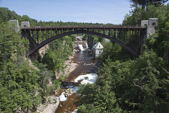
Ausable Chasm Put In Scene (Photo: Jeff Moore).

After reaching the river, we were all pretty blown away by the put in setting: big gorge walls, a 35 ft waterfall, and warm up slides falling away downstream. We quickly headed down through the warm up slides taking out above the lead in to elephant rock. We hopped out and scouted the entire section down to the left hand turn. I was a bit nervous when a guided chasm tour showed up, but they were friendly and didn't bother us about being out to scout. Everyone ran right at elephant rock as the left looked sieved out and nasty. Not all lines were pure, but everyone cam through okay, and eddied out right before ferrying and entering the heart of the chasm above Mike's Hole. We took another scout river left before bombing through the slightly sticky cliffed out hole. At this point the whitewater was over, but we still had the I-Beam to deal with. Upon seeing it, we all quickly snuck right underneath it without issue thanks to the beta from our scouter. At this point we had a short while to revel in the cliff walls, which are pretty much without comparison on the East Coast. All too soon, the Chasm ends, leaving only a class II scrapey paddle out to the car. Despite only having about 6 rapids, the Chasm runs all summer and is totally unique for the East Coast, making it quite classic.

Steve's First Stroke After Too Many Hours in the Truck (Photo: JM).

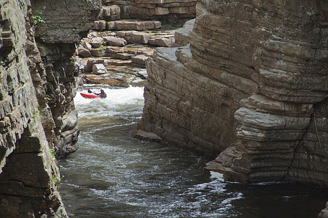
Tony Cruising into the Walled Out Eddy Below Elephant Rock (Photo: JM).

Heading into the Walled Out Mike's Hole (Photo: JM).

JJ Clearing Mike's from Overhead (Photo: JM).

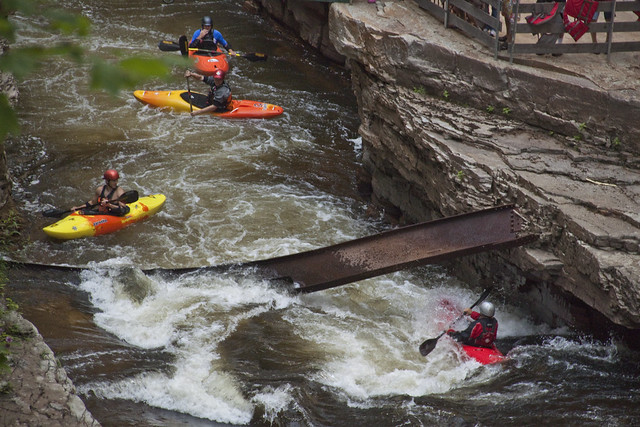
We Were All Relieved that it Wasn't an Issue. Hopefully the Chasm Company has Removed it by Now (Photo: JM).

What the Chasm's All About. Too Bad it's Not Longer (Photo: JM).

Monday, August 15, 2011

Life Back in the Kayaking Slow Lane

So the last 11 months has been a serious struggle. I won't go too much into the details, but last September 11th I dislocated my shoulder in Kentucky of all places. It had rained over 4 inches around Cumberland Falls and there were a few tribs that had interesting looking waterfalls in their final descents to the Cumberland. Eagle Falls was a bust, but Dog Slaughter delivered, leaving only Bark Camp to check out. After a few short slides, the north cumberland gnar gnar showed up, but Kirk and I pressed on. I didn't give the final drop enough respect, and it flipped me on my head, leading to a dislocated shoulder in the slot immediately down stream. After doing my best one armed Mark Spitz, I waited in the eddy while the fellas pulled my boat out of a sieve before they came to quickly reduce the dislocation (much to my surprise, I'd never seen a first time dislocation dealt with so smoothly). Fortunately we were already at the hike out point and 1/2 mile later I was snarfing Jeff's chips ahoy and ODing on vitamin I.

Within a week I had an MRI and less than 3 weeks later I was under the knife to repair a torn labrum and bicep tendon. The recovery sucked. Once the local block wore off the pain went Richter (only surpassed by the life jacket removal at the original scene) for a few days where sleep was pretty scarce (it would be nice if I responded to narcotic painkillers). It was about a month before I could sleep in a bed and another few weeks before I could start moving my arm and starting rehab. I got in a kayak for the first time about 12 weeks after surgery (although I would call what I did floating). From then on the goal was simple: explore as much new (to me) whitewater as possible while my shoulder recovered and gained strength. I'll just let the photos tell the stories from what turned out to be a great spring in the Southeast.

JJ bombing down some slides on Upper Snowbird Creek. We put in just above this set after 4 miles of hiking. Beautiful creek, hopefully someday I'll see it with enough water to run it from the top (Photo: Alex Zendel)

D. White finishing the same set. This one might get rowdy if you ever caught the creek with some water. (Photo: AZ)

JJ boofing on Bald River. We did this as a hike up while the Tellico was running about 3 ft. to avoid a terrible shuttle. Pretty little section but it would be better with more water to clean things up. Watch out for this drop, it's right above suislide and dished out a few inverted landings. (Photo: Jeff Moore)

The crew routing down the low angle stuff early on Roaring Creek. This season was really about the plateau, and this is one of the best class IV creeks Walden Ridge has to offer. (Photo: JJ)

The slides start to steepen up as you get further along. (Photo: JM)

Sean Camp about to do a little hole bashing. (Photo: JM)

Sean finishing up the last slide on Roaring Creek, below which Brush Creek enters in mega-cascade fashion, signaling the start of the run out. (Photo: JM)

Jeff Moore boofing a little sneak slot in the sunshine early on Big Brush Creek in the Sequatchie Valley. This run was like a mix between Daddy's and Caney Fork but with bigger harder drops than both. (Photo: JJ)

JJ boofing the entrance to another nice boulder rapid. This run has more mid-size slot boofs than most. (Photo: JM)

Mr. Robert Keeble, now of Bozeman, greasing the longest rapid of the run. (Photo: JM)

Keeble airing it out over some plateau ugliness. (Photo: JM)

Although not a new run, the Chatooga, specifically in overnight format, is one of the finest boating experiences in the Southeast. Here is smokeless Steve contemplating the narrows of section III in the fading evening light of day 1. (Photo: JJ)


Those are just a few photos from a few days of a spring that saw us exploring a lot of the class II-IV runs that surround Knoxville (and yes, I need to bring the camera more often). The shoulder's continuing to improve and has done well on some high water days in the Southeast this summer (Big Creek, Thunderhead/Tremont, and Crooked Fork) as well as a road trip to Quebec (photos and words... someday). Hopefully next season will be a good one around Knoxville, because we've definitely got some things planned when the rain falls again.